The 30-Day Survival Challenge, Part 4
Follow my journey in this series of articles and videos as I survive for 30 days off of the foods I can get through foraging, hunting, fishing, and trapping. Along the way, I’ll pass along my strategies, tips, and tricks for survival.
Read Part 1: “Living Off the Land: Surviving Week #1”
Read Part 2: “15 Wild Foods That Will Keep You Alive In An Emergency”
Read Part 3: “Sodium for Survival: 8 Ways to Find This Essential Nutrient in the Wilderness”
In my previous articles, I talked about my two primary calorie sources during the first week of my survival challenge and about 15 foods I’ve been relying on during my 30-Day Survival Challenge. I also walked you through the second week of the challenge, including how to find an incredibly important nutrient in the wilderness: sodium.
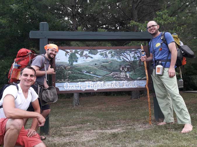
Today, I’ll start discussing the last leg of the challenge—my plan to hike barefoot through the 156.7 mile Ozark Highlands Trail, while surviving only on those foods I can forage, hunt, and catch.
I kept a journal of each day’s progress and challenges, and I’d like to share it with you here. As you’ll see, I had plenty of ups and downs, both literally and metaphorically, and made plenty of mistakes. But in the end, it was quite an adventure.
And, as you’ll read over these next two articles, things don’t always go as planned . . . .
Day 1—10.5 Miles (16.9 Kilometers)
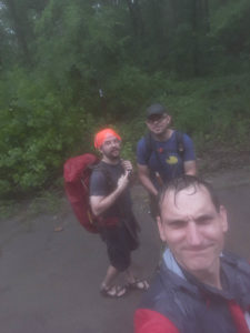
The day started early. I woke up at 4:00 a.m. to get ready and drive my friends Jeremy and Ryan to Lake Fort Smith State Park. The official start of the trail is a concrete path through manicured lawns and landscaped flower beds, past scenic views of the lake and hills beyond. It didn’t take long, however, before we hit a well-maintained gravel path and entered a more woodland setting.
The morning was still young—cool and calm, without the noises of other people. Our spirits were high as we talked and laughed, sang and messed around on the plastic recorders I’d brought from home.
I was hesitant to forage anything for a good while, until I was sure we were past any chemical-based trail maintenance.
Read More: “How to Not Die While Wildcrafting: 15 Rules for Foraging Safely”
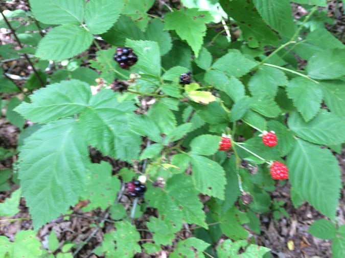
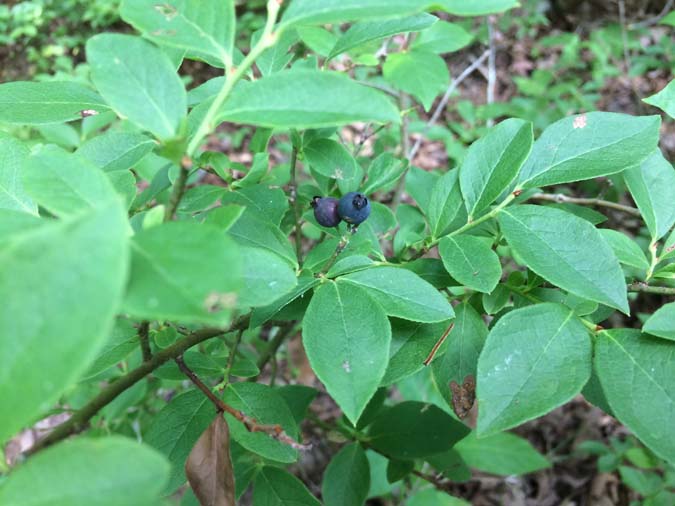
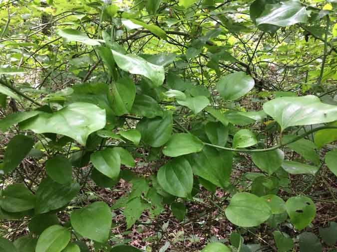
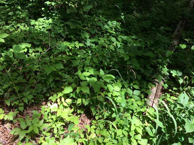
But soon enough I was pointing out trailside nibbles to my friends. We snacked on the occasional blackberry, blueberry, and smilax vine. I even had them chewing on sassafras and spicebush leaves, which they found surprisingly pleasant.
And I showed them how they could rub beautyberry leaves over their bodies to keep insects at bay.
All was smiles and laughs until the rain started. But even that wasn’t enough to quench our spirit of adventure. We simply slipped on our backpacks’ rain covers and hiked our merry selves further into the woods.
However, we were becoming aware of another problem. Ryan’s pack was too heavy.
Ryan is no stranger to backpacking. He spent several months backpacking around Europe by himself. But paved roads and cityscapes are very different from forest trails through hill country, and our trail was rapidly deteriorating. It was some time before noon when Ryan twisted his ankle. We soldiered on at a slower speed, taking frequent breaks.
Toward mid-afternoon, we made a steep descent into the valley that would bring us to our destination for the day. Ryan was moving very slowly by this point. The combination of the weight and his altered stride, to compensate for the ankle, was aggravating an old knee injury.
The atmosphere in the valley was gloomy and closed-in. Conversations dropped to a minimum. Thankfully, both we and the sun soon broke through the gloom, and we found ourselves on the banks of Hurricane Creek.
As we set up camp in an elevated position, it was time to say goodbye to Jeremy. A year ago, we had all started planning this adventure together. But then Jeremy had to go and get married, and his previous commitments had to be altered. Ryan and I both understood, though we gave him a hard time about it. (That’s just the “guy” thing to do, you know.)
Afterward, Ryan was quiet. I wanted to build a fire. That always cheers spirits, for some reason. But the near constant rain had soaked all the good kindling. With Ryan resting in his hammock, I passed the time by scrounging around for food. With no fire, crawdads were off the menu. The same would have been true for squirrels or fish, had I seen any. I ended up snacking on grape leaves and violets, then sat on a large stone in the dry part of the creek playing 0the recorder while the clouds passed overhead.
My mind wandered over the day’s travels.
I tried several times to go barefoot. My plan was hike to the whole trail unshod, but the path was mostly exposed gravel and rocks, common to this region. Normally, I’m pretty good with gravel, but the weight of the pack had it digging in. I had to keep switching back and forth between sandals and bare feet.
Also, I was worried about Ryan’s knee and whether he would be able to keep going the next day. I wasn’t keen on doing this alone.
Day 2—7.6 Miles (12.2 Kilometers)
Day 2 was grueling. We fought an almost unbroken uphill climb for 8 hours. The trail was wild, and overgrown with knee-high poison ivy and brambles that obscured holes and jutting rocks. This was especially dangerous along the steep cliffsides and switchbacks that dotted the trail.
The pace was painfully slow, with frequent breaks to let Ryan rest his knee.
I was having problems, too. The clip on the hip belt on my backpack broke mid-morning. After the weight dug into my shoulders for an hour, I tied the two ends of the belt together. The strategy worked marginally well, but we were both hurting for a break.
The worst point was when I realized that I had dropped my trail guidebook. We had been using the guide to get us through some of the more poorly marked sections of the trail, and it also had a printout of our hiking plan, with places to refill water, distance goals for each day, and other important notes.
I tried hiking back to look for it, but had to give up. This was late in the day and it could have fallen out of my pocket at any point over the previous several hours. For the time being, we had to push on.
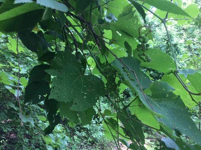
One upside of our lackluster pace was that it allowed for plentiful food gathering. We passed thicket after thicket of blackberries and several good clusters of blueberry bushes. There was no shortage of food on this day. We also passed several grape vines with clusters of unripe fruit. I sampled a few, savoring the tart flavor.
I’d like to pause to clarify that my body was using fat stores as its primary energy source. Wild plants are rarely adequate calorie sources, especially when expending this much energy. But I helped it along by eating as frequently as possible.
In a survival foraging situation, you need to eat as you go. Don’t wait until you’re hungry, or until it’s meal time. If you do, you’re already behind.
See food. Eat food.
The end of the day was torturously steep, and we lost the trail a couple of times. Nevertheless, we somehow ended up at White Rock Mountain Campground. After collapsing for a while and concentrating on not throwing up, my strength came back to me. I walked out to the rim trail and beheld an ocean of trees down below me. This was why we’d made the climb.
Back at camp, Ryan had noted an interesting phenomenon. For some reason, this campground was attracting thousands upon thousands of stick insects. They were all fairly small at this time, but I could see them becoming quite a nuisance as the year progressed. I’m glad we passed through before they got any bigger.
Another thing this campsite had was raccoons. During the night, one of them tore open the rainfly on my backpack, ripped open a pocket, and chewed into my herbal first-aid kit. I hadn’t expected raccoons to be a problem, since I wasn’t carrying food. As it turned out, this wouldn’t be my last experience with raccoon shenanigans before the end of the hike.
Day 3—19 Miles (30.5 Kilometers)
Sunrise at the campsite was glorious. They have a rock you can walk out on to see the sun rising over the horizon, saturating the valleys with red-orange light. If you’re in the area, it’s definitely worth the drive. I know I’ll be coming back with my family when we get the chance.
Ryan and I took a short, unencumbered walk around the camp to warm up his knee. Then we said goodbye to the nice family that runs the camp, and headed down the steep, stone steps that led back to the Ozark Highlands Trail.
It was here that Ryan made a disappointing, but understandable, decision. He was going home.
It was the smart thing to do. His knee wasn’t getting better. He needed to tap out now, rather than risk getting into trouble out there on the trail, potentially miles away from an access road. Our adventure wasn’t worth a long-term injury.
My spirits were very low at this point.
In just a few days, we’d gone from a group, to a pair, to just me. And now I was left to hike the trail alone, without company or support.
I was carrying a small GPS tracker that uploaded my position to a satellite, so that my family could keep up with my position. This was small comfort, though, as they would have no way of knowing whether a lengthy stop meant I had made camp early or fallen into a ravine.
And if I lost the trail (a real possibility without the trail guidebook), they’d have no way to let me know where I was. Cell signals are notoriously poor along the trail. You can get a signal from time to time, but it’s nothing you can rely on in an emergency.
I knew I had to break out of my pity party, or I’d make myself crazy thinking about it. So I put my full focus on the trail and set off at full speed. Every white trail marker was a small victory and a relief as I sailed over hill and valley, grabbing handfuls of edible berries and leaves as I traveled. And while I missed my friends, this time alone allowed me to become more in tune with nature than would have been possible had they stayed with me.
This section of the trail opened up a lot, and I passed by many beautiful sights. I saw rippling streambeds, mossy boulders, and all manner of forest life. The trail was a lot less hilly, as well, though we never quite get level ground in the Ozark highlands.
I passed a lot of time singing or playing my recorder. The hills always give me a lot by way of food, beauty, and peace. Making music is one of the ways I like to give back. I don’t know if nature really cares, but it’s a good attitude to cultivate.
At one point, I managed to get cell service long enough to send a text out to my parents about my situation, and tell them about Ryan and the lost trail guidebook. I was pleased as could be to see them waiting on me, with my father’s copy of the trail guidebook, when I arrived at Cherry Bend that evening.
We talked as I set up camp. I told them all about what had happened with Ryan, about the sights along the trail, and about what I had been eating. They asked me about my plans going forward and warned me about a storm moving in. After a day of talking to myself, it was a real psychological relief to hear other voices. All too soon, though, they had to leave. I was left to spend my first night alone, at the mercy of curious animals and a coming thunderstorm.
Just to be clear, I’m not a big ‘fraidy cat. I’m not scared of the normal night noises and critters that live in the woods. But I do respect them.
As it turned out, I had nothing to worry about. My night for curious animals would come later.
Day 4—19.3 Miles (31 Kilometers)
This was one of the most beautiful days on the trail. My spirits picked up from the scenery, and from moving with a purpose. The trail was mostly open as I climbed hill after hill on the way to the highest point on the trail, Hare Mountain.
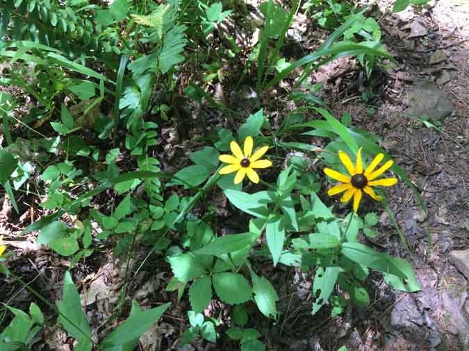
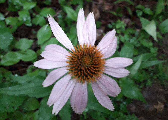
I passed bluffs, rocks, streams, and all manner of plant life. I saw pawpaws, wildflowers, grapes, wild comfrey, mossy oaks, and . . . honestly, if I tried to list it all out, we’d be here for quite a while. In short, I saw a ton of great plants.
Read More: “The Grapes of Youth: 11+ Age-Defying Reasons to Love This Plant”
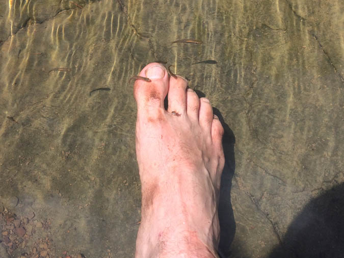
I also stopped to wash my feet in a stream and found some minnows that were eager to help me out by nibbling at the dirt on my toes.
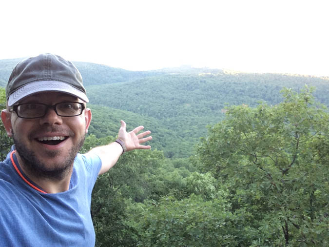
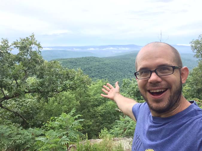
Cresting the last hill, I came to a fairly narrow ridge where I could see off of both sides of the mountain. This was easily the best moment on the trail. I was up high in the open air with rolling, woodland hills as far as the eye could see. Everything was still and quiet, save for a light breeze, as though all the world was savoring the moment with me.
In the year leading up to my adventure, this was what I had been picturing. This was the fantasy I had built up in my head. And for a few minutes, it was real and tangible. This was one of those rare, perfect moments where time seems to stand still and you’re absolutely there.
I walked along that ridge for a good while, drinking in the view and wishing Ryan and Jeremy could be there to share it. To the side, I spied an overhanging rock that stood out like a small stage over the valley below. As I stepped, barefoot, onto the rock, I pulled out my recorder, took a slow breath, and played a haunting tune that echoed down into the valleys below. Every note came out without error, and the last note coincided with a peal of thunder. I kid you not.
Spirits were obviously high. I even got a text from Ryan saying that he planned to join back up with me the following day. But mountaintop experiences are not meant to last. Eventually, the time came for me to descend into the valleys once again.
Little did I realize that this was to be both literal and metaphorical.
Blueberries (Heart) Pine Trees
I passed several good patches of blueberries that afternoon, along with a lot of different types of terrain.
There’s a pattern that I’ve noticed. It’s not 100% by any means. But it comes up fairly often, so I’m just going to throw it out there for you: Look for wild blueberries around pine trees. They seem to enjoy the same soil and each others’ company. Take it for what you will.
Toward evening, I passed through a patch of what passes for level ground out here. The terrain in the immediate area was little more than alternating slabs of stone with no discernable path to see. The trail could only be followed by picking out the white, rectangular markers on whatever trees were tenacious enough to plunge roots through the cracks. I knew I was only a mile or two out from camp, and I was coasting in to a well-deserved rest when I abruptly lost the trail.
Losing the Trail
I backtracked and found the last trail marker. Look as I might, I couldn’t see another marker anywhere in the distance. I spent some time walking in random directions from the last marker, then turning all around to find the next one, but I just couldn’t find the it.
Being lost is never fun. But being lost with a partner at least has the consolation prize of being lost together. When you’re lost by yourself it’s doubly awful, because not only are you lost, but you’re the only person around to blame and the only one who can fix it.
I was running out of water, sunlight, and energy, so I decided to check my compass and head off into the woods. I knew that I only had to make my way down the hill where I would run into a creek called Lick Branch. From there, I could follow it to my campsite.
The plan didn’t work out quite as planned. My first several attempts down the hill encountered impassable boulders and sudden drop-offs.
At this point, I was hopping from rock to rock to avoid wading through poison ivy and deep leaf pits, any of which could be a home for one of the numerous snakes that live out here. I wasted at least a half hour wandering around before I retreated back to the last trail marker.
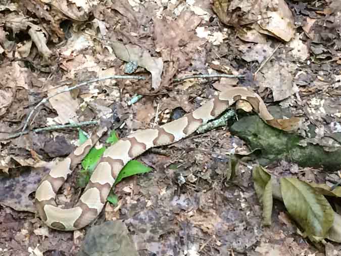
In that time, I’d done nothing more than confirm several ways not to get down the hill, and stirred up a dozen or so rabbits.
(By the way, this whole section of trail has a ridiculous number of rabbits, and they’re all the size of beavers. I exaggerate slightly. But let’s just say that if rabbits were carnivorous, I would have gone home right then.)
One last time, I headed down the hill. This time I choose a long, curving route to avoid the worst of the drop-offs. As it turns out, the long way was the shortcut I was looking for, and it intersected the highland trail less than an eighth of a mile from where I’d started. My joy at reconnecting to the trail was only overshadowed by all the bear tracks from here to camp.
Up until this point, I was really more concerned with mountain lions. I like most animals, but I’m really a cat person, way down deep. I understand cats, and I get along with them.
But I also know that they can be . . . how do I put this?
Well, let’s just say it: If they could eat you, they probably would. And mountain lions can. So there you go.
Countdown to Paranoia
On the flipside, the black bears of the Ozarks are not known for being especially aggressive. If you have a violent encounter with a black bear, several things have probably gone wrong.
With plenty of time to think about such things, I started counting:
- Lots of bear activity in the area.
- Camping near a water source frequented by animals.
- Camping alone.
- Previous campers’ food litter still in the area.
- I smell all ripe and juicy with human sweat.
- My last successful text from my parents let me know that my GPS transmitter had stopped functioning.
- Ryan was carrying the pistol.
- I’d like to go home now, please.
That last one wasn’t really an option.
I was well out of cell range. There would be no calling for help.
And to really raise my paranoia level, I’d just read in the trail guidebook about the trail’s first recorded bear attack, not too far from my location. There was nothing to do but build a big fire and sleep with my hand on the radio’s emergency siren button.
Isn’t it funny how your imagination can see so much better in the dark than your eyes can?
Read the Next Article in the Series Here: “‘As Hot as a Razorback’s Armpit’: Survival Foraging Across the Ozark Highlands Trail, Part 2″
_______________________________________________________
Psst! Our Lawyer Wants You to Read This Big, Bad Medical Disclaimer –> The contents of this article, made available via The Grow Network (TGN), are for informational purposes only and do not constitute medical advice; the Content is not intended to be a substitute for professional medical advice, diagnosis, or treatment. Always seek the advice of a qualified health care provider with any questions you may have regarding a medical condition. If you think you may be suffering from any medical condition, you should seek immediate medical attention. You should never delay seeking medical advice, disregard medical advice, or discontinue medical treatment because of information provided by TGN. Reliance on any information provided by this article is solely at your own risk. And, of course, never eat a wild plant without first checking with a local expert.
_______________________________________________________

Scott Sexton is a TGN Trailblazer, a highly experimental gardener, an unrelenting weed-eater, and a largely non-profit herbalist (much to his wife’s chagrin). When Scott is not teaching foraging classes, testing out theories in the garden, or grazing in the forest, he can be found at his Facebook page, “A Forager’s Guide to the Zombie Apocalypse.”



COMMENTS(4)
Living in the Ozarks myself I am especially loving your posts.
Glad to hear it. We live in a beautiful part of the world.
I think it might be evergreens and blueberries, Scott. I live in Western Labrador and during blueberry season you literally have a hard time finding a spot to plant your feet so that you are not stepping on the blueberries. Most all the trees here in Lab. West are Black Spruce covered with Usnea.
It suspect it has something to do with the soil pH. We tend to have acidic soils around here, which the pines and blueberries both enjoy. Spruce do too, I think.